
65km (Garmin said 75km?) from Angourie to Red Rock over 4 days.
This was one of those ‘insta’ vs reality experiences. I imagined us strolling along the picturesque coastline, wearing my swimmers ready to take a dip at every rest-break and sipping hot chocolate in my sleeping bag while watching the sunrise. The 4 river crossings (3 requiring watercraft), beach campsites and café breakfasts prospects made it sound like the perfect spring-time hike.
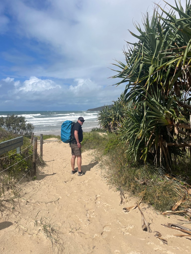
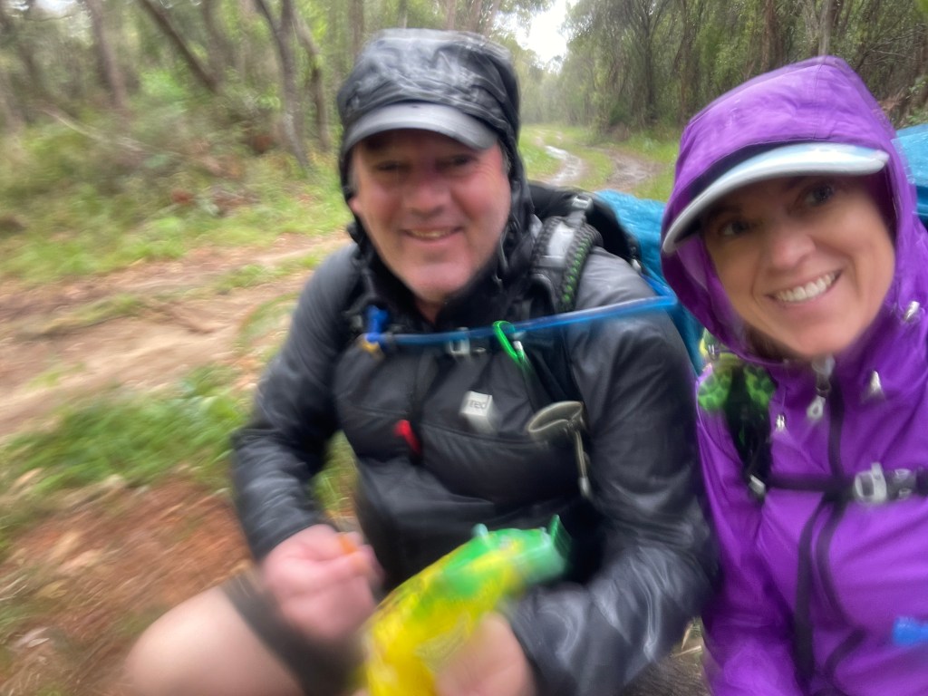
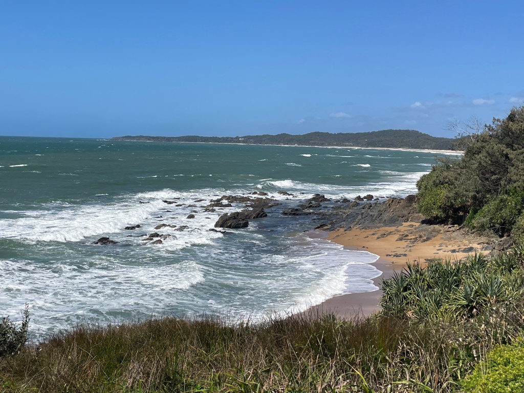
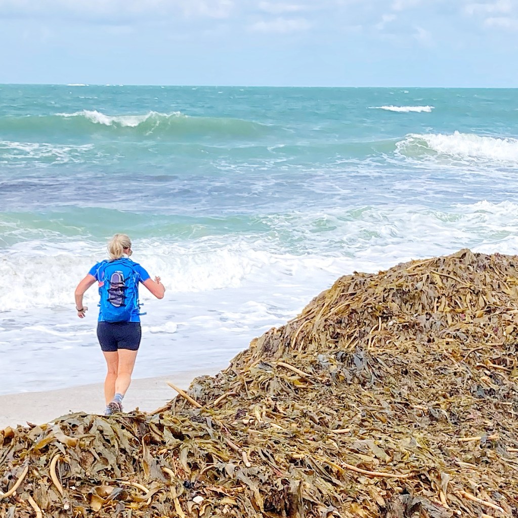
Don’t get me wrong – it was fun! I loved hiking in barefeet as we strolled along remote beaches (into a howling southerly). The trail was easy to follow, switching between sandy beaches, grassy paths and rocky headlands. However, the preceding east coast low caused some wild weather and rough seas that meant the ocean wasn’t coaxing me to swim and the cooler temps meant we snuggled into our tent a little earlier. Storms on day 2 dampened our spirits a little, but we were grateful that we had chosen the ‘back track’ option while at least provided some protection from the strong winds and torrential rain.
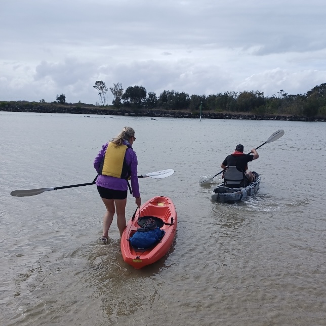
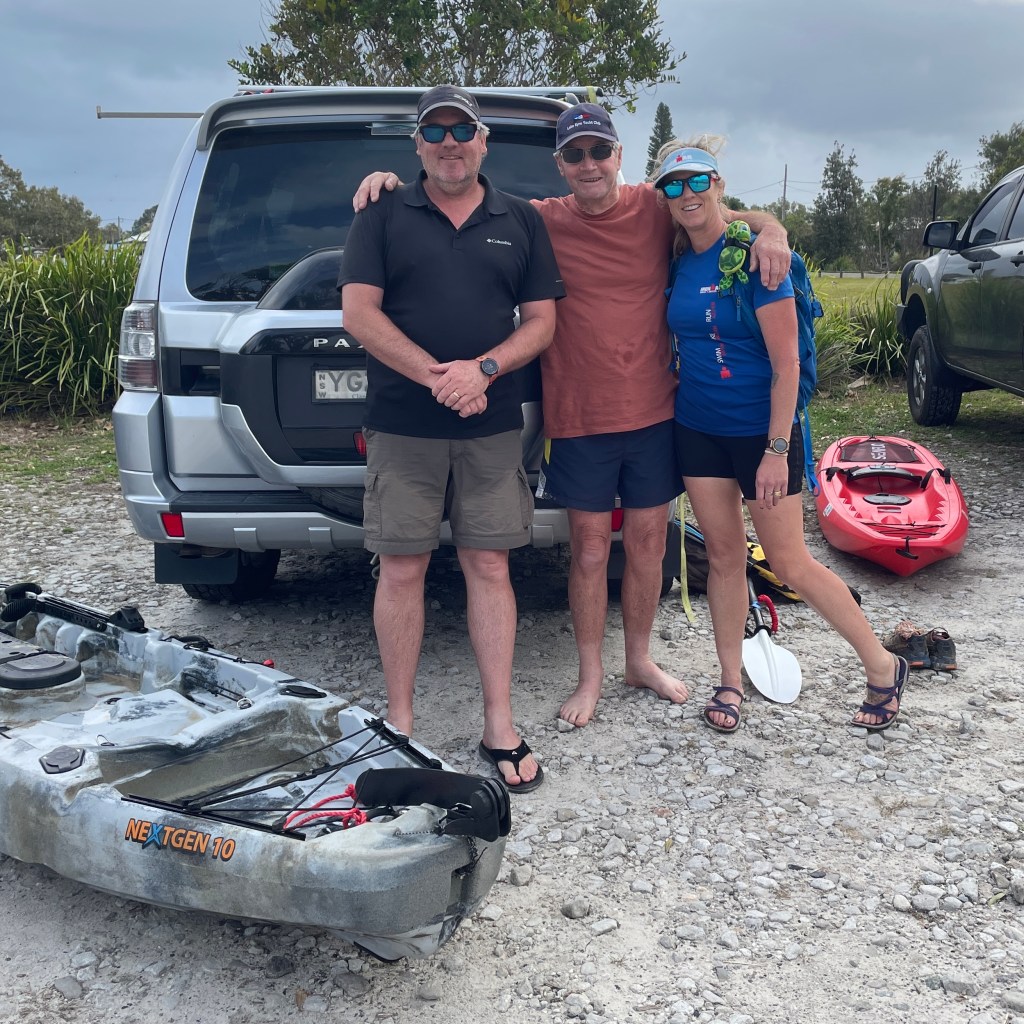
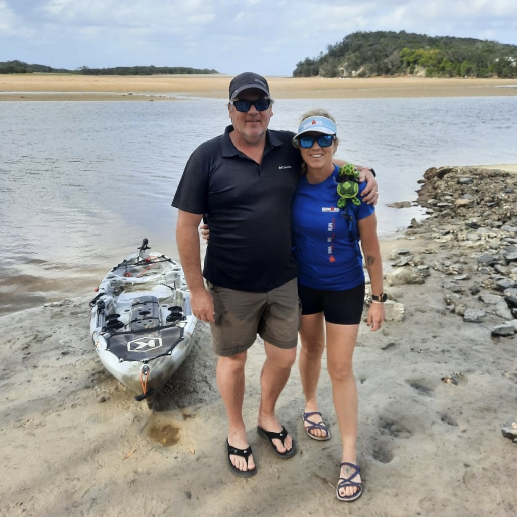
Adam’s parents met us at each of the river crossings with two kayaks, providing a fun way to get us and our packs across with a feeling of independence. Ma even brought us salad rolls for lunch (much better than my dry wraps).
After following the ‘coastal emu footprint’ markers from the signposted start at Angourie, it was almost an anti-climax to cross the Corindi River into Red Rock and not find any markers or signs to say that we had completed our walk. The scenery that we had experienced over the past four days was breathtaking and just being out in these untouched spaces was rejuvenating for soul. The walk provided some challenges but was not difficult and you could be self-sufficient and camp along the way or access facilities in the local townships, making it a true choose-your-own adventure.
Day 1 – Angourie to Redcliff (Greycliff?) campground 15km
Day 2 – Redcliff to Illaroo campground 25km
Day 3 – Illaroo to Wooli 17km
Day 4 – Wooli to Red Rock 15km
DETAILED ITINERARY


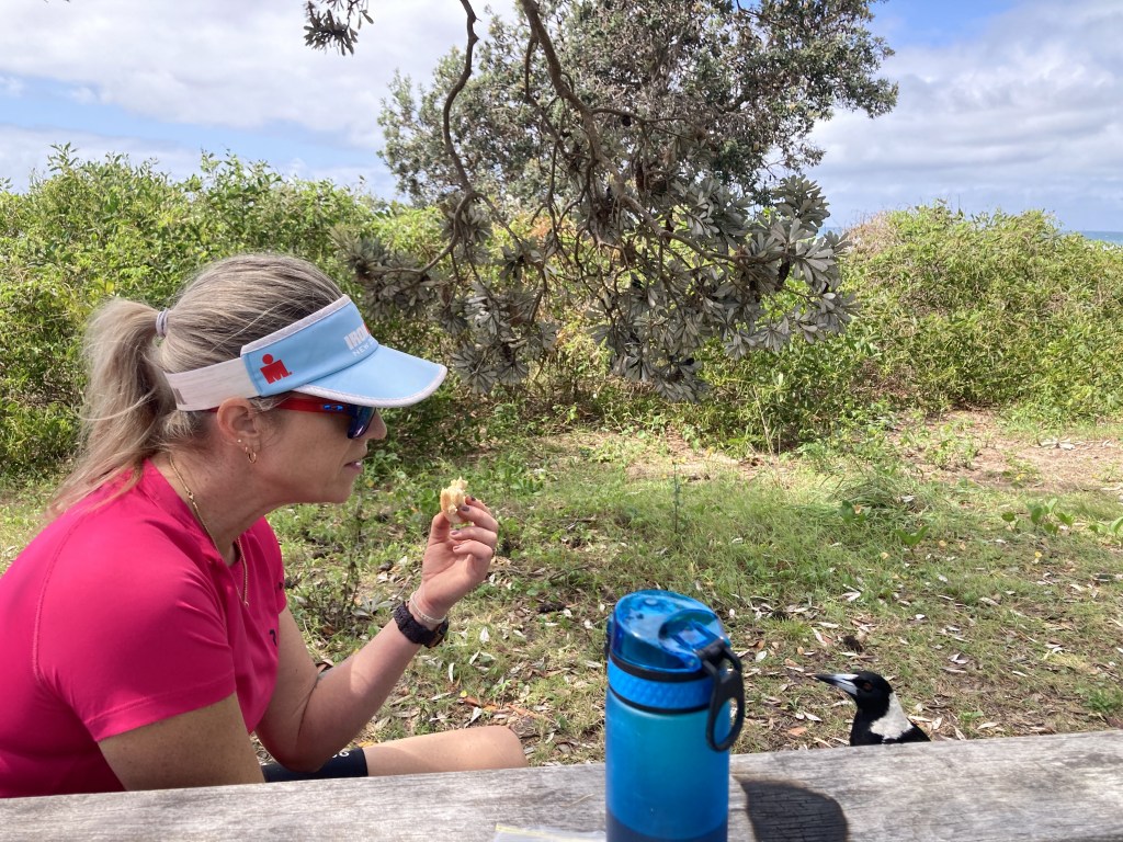
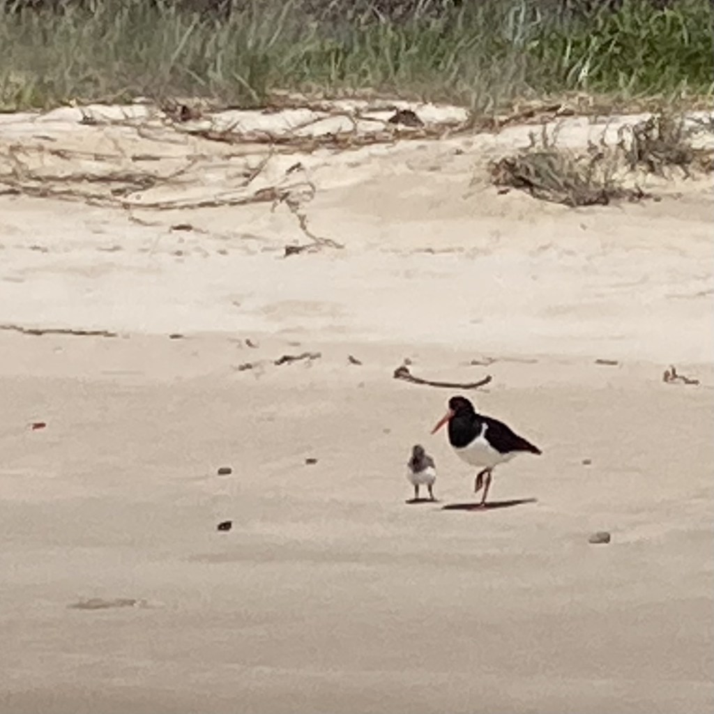
Day 1 – Angourie to Redcliff (Greycliff?) campground 15km – Rain was threatening as we began our hike at Angourie Surfing Reserve, but the clouds moved on and it turned into a beautiful day. At the end of the beach the track veers straight up to meet the Dirrangan Lookout Track. Stop and read the story about Dirrangan, and how she became part of the ocean reef. We had lunch with the resident magpies at Shelley Headland Camping Area. This was a great little campsite with beach views, toilet, and picnic tables (although no freshwater). From here the track leaves the beach and follows a sandy/grassy path all the way to Lake Arragan. We camped at the Greycliff campground. Drinking water is 2km away at the main vehicle entrance but we were lucky enough to get water from the park manager. (There were tanks near the new toilets that provided fresh water to wash your hands, this was signposted as not suitable for drinking but I would easily have used it with a couple of purification tablets, boiling etc.). Heaps of kangaroos, some cute baby plovers and a very friendly crested pigeon shared our camp and despite the wild surf being too rough for a swim, the rolling sounds lulled me easily to sleep.


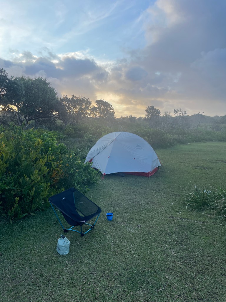
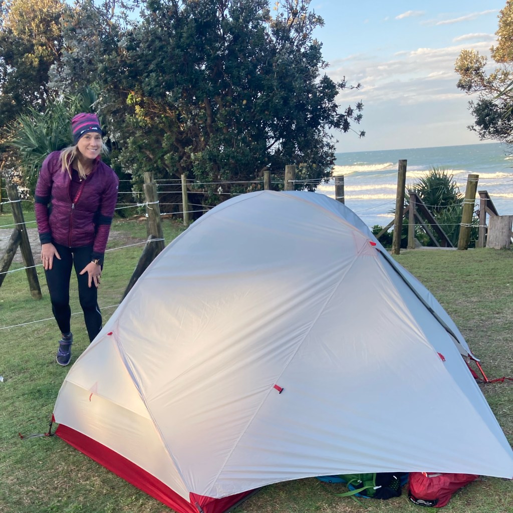
Day 2 – Redcliff to Illaroo campground 25km – This morning was a quick pack-up with the promise of breakfast in Brooms Head at the other end of the beach (approx. 5km). We had originally planned to stay in Brooms Head but there was no booking available. I managed this walk in barefoot until the bitumen of civilisation got too much and I put my reef-sandals on. After a massive breakfast at the Booms Head General Store (note they don’t open until 8:30am) we checked out all the cute little houses as we followed the road around the headland and took our sandals off again as we walked along the beach to Sandon River. Ma and Pa met us here for our first deep-water crossing. It felt extravagant when Ma handed over some fresh salad rolls for lunch. Adam was watching the radar closely as we know knew the storms were coming. Checking that our raincoats were easily accessible we shuffled our packs across the short crossing without drama. Over the other side we chose the ‘Sandon Back Track’ rather than walking along the beach as we hoped for some protection for the wind and rain that the storms brought with them. The sandy track required navigation of some knee-deep flooded sections but was otherwise uneventful. The 10km ‘Back Track’ finally joined the beach, signalling that we getting closer to our campsite at Illaroo. This was a spectacular camp ground with hybrid/flush toilets, drinking water, BBQs, grass sites, picnic tables and a beautiful beach. Definitely flag this one in the diary to come back again!


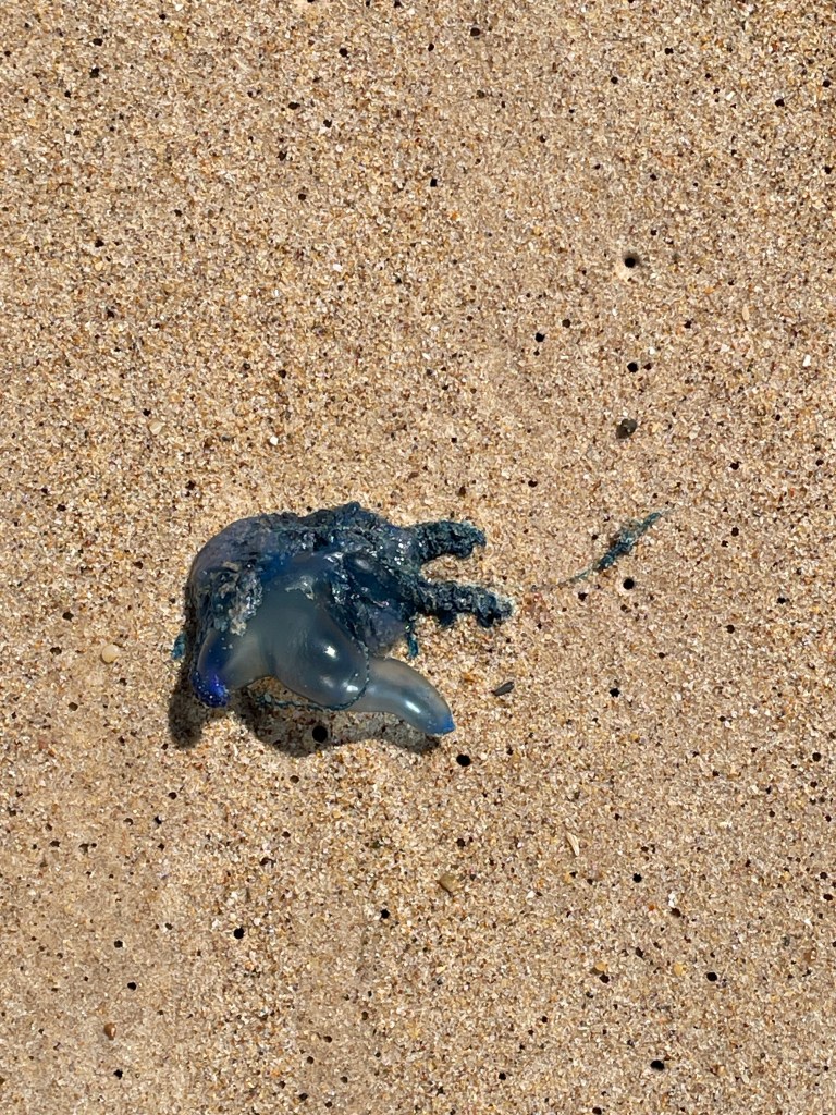
Day 3 – Illaroo to Wooli 17km – Another pack-up with the promise of a café breakfast. We walked around the headland and saw some rainbow bee-eaters. Excitedly we asked a passer/by with a tell-tale camera if he knew about these birds and he was most happy to oblige. The trail popped out at Minne Water Town with its Surfclub and General Store. The smoothies and home-made pies here were to-die-for and although we didn’t need any supplies they seemed to have thought of everything! We had to force ourselves to move on, down onto the beach and then along the rock platforms looking for shells. We followed the Wilson’s Headland Walk keeping an eye out for whales and found a seat with a view to enjoy lunch before dropping down onto Wooli beach. The number of bluebottles keep me amused until we saw a figure in the distance. Pa had walked from Wooli Town to meet us. There is a caravan park here but no tent for us tonight as we stayed in our accommodation with hot showers, and Chinese from the Bowling Club for dinner. (I felt like I was cheating!!).


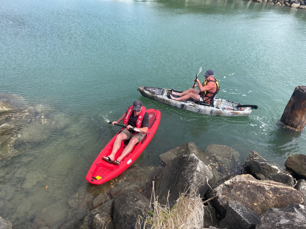
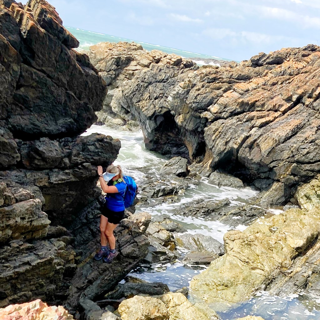
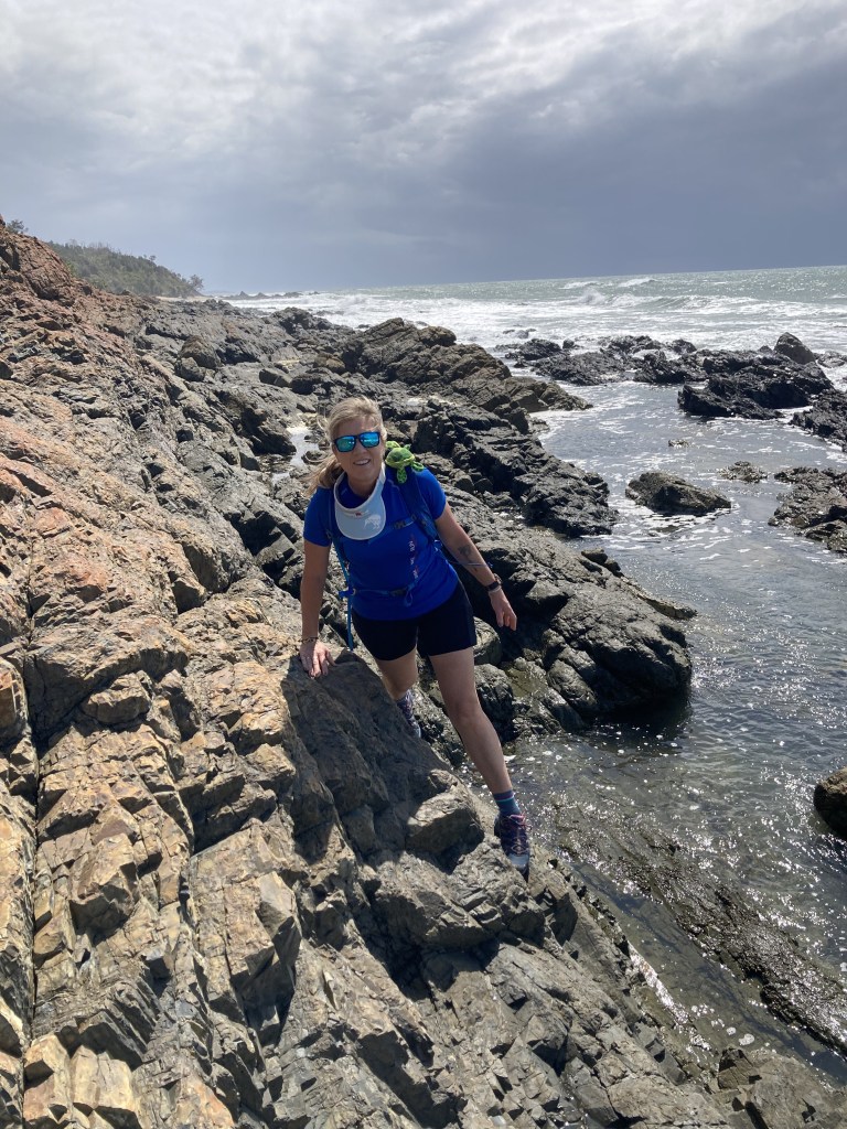
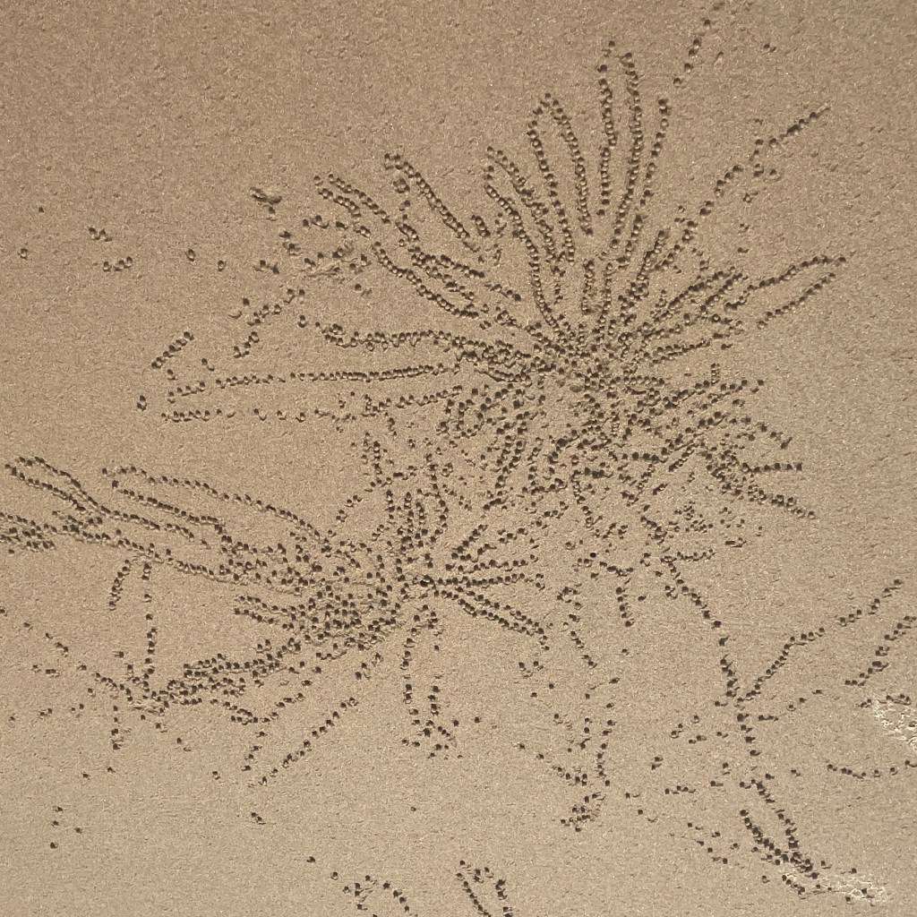
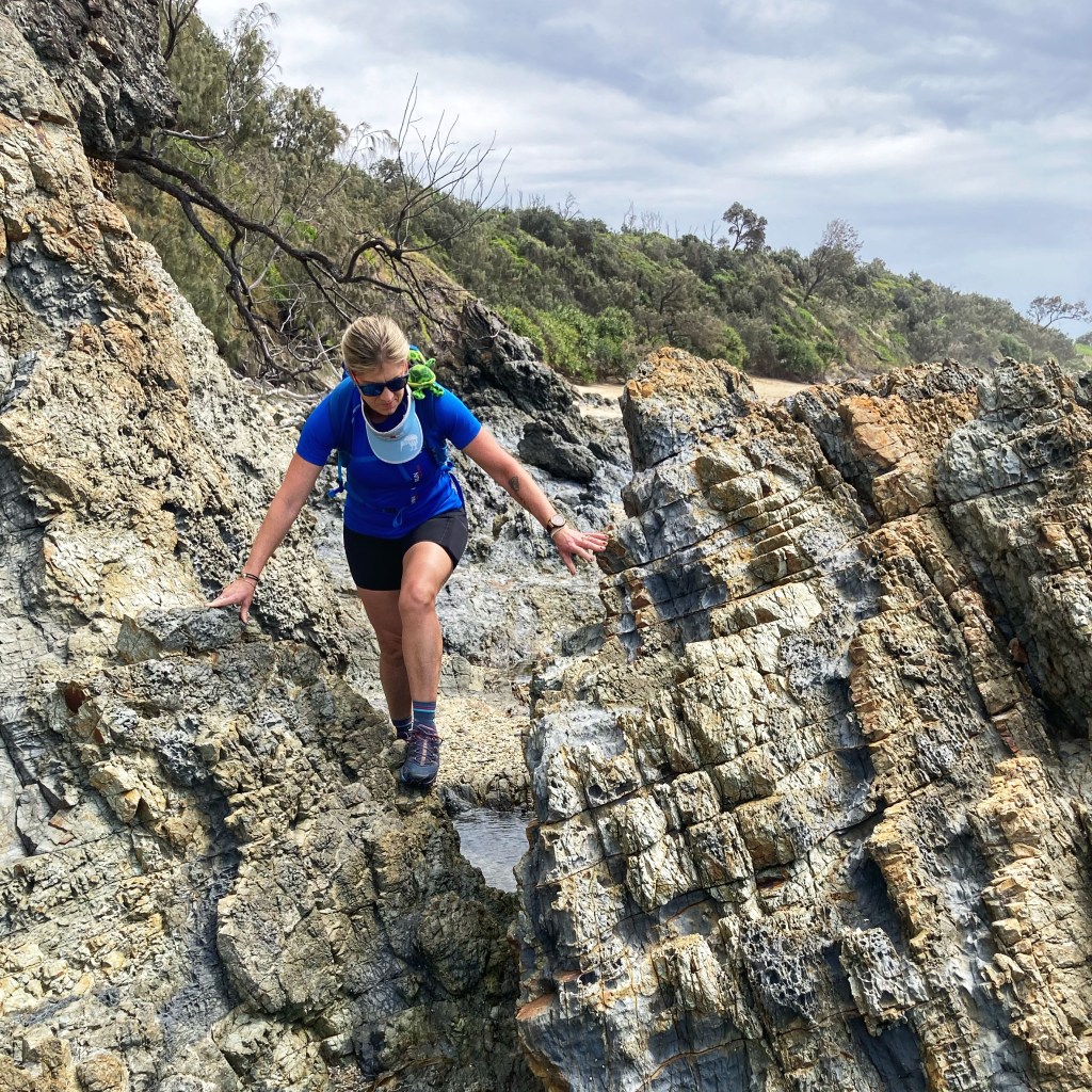
Day 4 – Wooli to Red Rock 15km – A bit of a sleep-in this morning waiting for the right tides (that was the excuse anyway) and then we took the kayaks down to the river mouth. There were some concrete bollards that signified the exit point on the opposing rocky shore and we waved goodbye to Ma and Pa and headed off along the narrow trail through long grass. Once on the beach again the track soon became an awesome rock obstacle course balancing on the sharp rocks as we picked our path and climbed up, over, around and through the rocks while trying to avoid getting our feet wet. This bit was fun!! Eventually the track took us away from the rocks along the Freshwater Walking Track to Pebbly Beach Camping Area which is only accessible along the beach and across Station Creek. Another one for the diary (although we did see a massive black snake here). We waded across Station Creek but having learned our lesson from the previous long beach hikes, we donned shoes before heading off along the beach. The firm, flat sand made for a faster pace and the millions of crab balls/crab art and foam deposits provided entertainment as we walked towards the ‘Red Rock’ in the distance. Our final river-crossing of the Corindi River proved to be the most challenging. Looks were deceiving – it didn’t look that far or that deep. We attempted to wade across the widest part but it was too deep and although possibly swimmable we decided to stick with our kayak option. We looked ourselves and asked some locals if there was a sign or finish marker but apparently not! We satisfied ourselves with some victory shots at the boat ramp, strapped the kayaks on the roof and headed back to our accommodation in Wooli to celebrate.

TRIP NOTES:
- Check the weather and tides before you go www.bom.gov.au
- Campsites were booked through www.nationalparks.nsw.gov.au
- River Crossings can be organised ahead – try www.myclarencevalley.com or phone 02 66430800
- Best walked north to south with the sun at your back.
- Carry sufficient water and plan your usage as there are not many options for drinking water.
- Be mindful of sun exposure – walking the same directions all day means the back of your neck and legs etc can get burnt.
- We found the All-trails app useful. Mobile phone service was sporadic. We also carried a Garmin InReach Mini and first aid kit.
- We both wore hiking shoes but most of this walk could easily be done in joggers (or sandals) although the rocky section on day 4 would ruin running shoes (take your old ones).
- https://www.environment.nsw.gov.au/resources/parks/brochures/YuraygirCoastalWalk.pdf


You do a great travel diary – it makes me want to do the walk too.
Cheers
LikeLike
It’s a great walk – no matter what the weather! Might have to do it again when the seas are a little calmer!
LikeLike